'The Corn Mill'. Luddenden
Introduction
The photograph on this page of 'The Corn Mill'. Luddenden by Humphrey Bolton as part of the Geograph project.
The Geograph project started in 2005 with the aim of publishing, organising and preserving representative images for every square kilometre of Great Britain, Ireland and the Isle of Man.

There are currently over 7.5m images from over 14,400 individuals and you can help contribute to the project by visiting https://www.geograph.org.uk
'The Corn Mill'. Luddenden
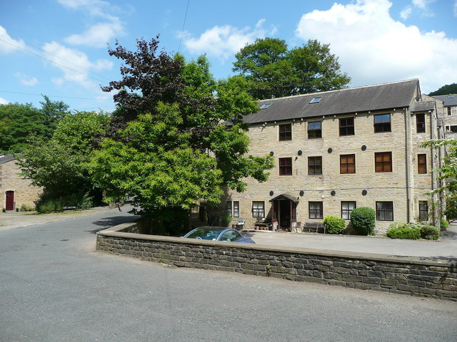
Image: © Humphrey Bolton Taken: 23 Jun 2014
This is not the medieval corn mill, which has long been demolished, but one of several buildings that existed in the 19C on both sides of High Street.
Images are licensed for reuse under creativecommons.org/licenses/by-sa/2.0
Image Location


Leaflet Map data © OpenStreetMap
Latitude
53.729931
Longitude
-1.938727