"The Humps", Newton Aycliffe
Introduction
The photograph on this page of "The Humps", Newton Aycliffe by Oliver Dixon as part of the Geograph project.
The Geograph project started in 2005 with the aim of publishing, organising and preserving representative images for every square kilometre of Great Britain, Ireland and the Isle of Man.

There are currently over 7.5m images from over 14,400 individuals and you can help contribute to the project by visiting https://www.geograph.org.uk
"The Humps", Newton Aycliffe
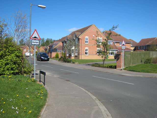
Image: © Oliver Dixon Taken: 16 Apr 2007
Otherwise known as Temple Way. One of the more modern estates in the "new town" (founded as far back as 1947) of Newton Aycliffe http://www.great-aycliffe.gov.uk/2towninf.htm .
Images are licensed for reuse under creativecommons.org/licenses/by-sa/2.0
Image Location
Latitude
54.628969
Longitude
-1.586858