A30 east near Rockbeare House
Introduction
The photograph on this page of A30 east near Rockbeare House by John Firth as part of the Geograph project.
The Geograph project started in 2005 with the aim of publishing, organising and preserving representative images for every square kilometre of Great Britain, Ireland and the Isle of Man.

There are currently over 7.5m images from over 14,400 individuals and you can help contribute to the project by visiting https://www.geograph.org.uk
A30 east near Rockbeare House
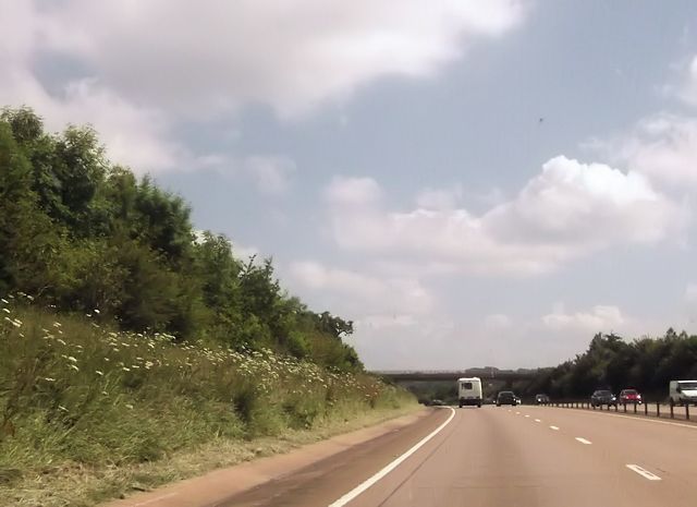
Image: © John Firth Taken: 14 Jun 2014
Overbridge ahead carries road to Marsh Green
Images are licensed for reuse under creativecommons.org/licenses/by-sa/2.0
Image Location
Latitude
50.737041
Longitude
-3.367741