St. Leonard's Community Infant and Nursery School
Introduction
The photograph on this page of St. Leonard's Community Infant and Nursery School by Andy Potter as part of the Geograph project.
The Geograph project started in 2005 with the aim of publishing, organising and preserving representative images for every square kilometre of Great Britain, Ireland and the Isle of Man.

There are currently over 7.5m images from over 14,400 individuals and you can help contribute to the project by visiting https://www.geograph.org.uk
St. Leonard's Community Infant and Nursery School
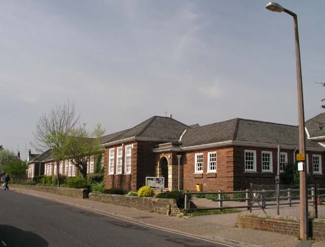
Image: © Andy Potter Taken: 17 Apr 2007
I think it was originally opened in 1915 as a girls' council.
Images are licensed for reuse under creativecommons.org/licenses/by-sa/2.0
Image Location
Latitude
51.063059
Longitude
-0.316738