Church Street, Beaminster
Introduction
The photograph on this page of Church Street, Beaminster by Derek Harper as part of the Geograph project.
The Geograph project started in 2005 with the aim of publishing, organising and preserving representative images for every square kilometre of Great Britain, Ireland and the Isle of Man.

There are currently over 7.5m images from over 14,400 individuals and you can help contribute to the project by visiting https://www.geograph.org.uk
Church Street, Beaminster
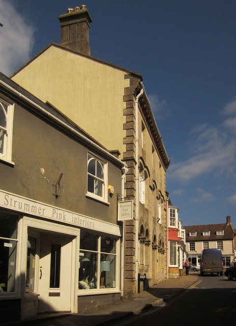
Image: © Derek Harper Taken: 13 Apr 2014
Buildings on the north side of street as it leads up to The Square. The building with rusticated quoins is the former Lloyds Bank http://list.english-heritage.org.uk/resultsingle.aspx?uid=1290450&searchtype=mapsearch , also shown in Image
Images are licensed for reuse under creativecommons.org/licenses/by-sa/2.0
Image Location
Latitude
50.808906
Longitude
-2.739526