Contrasting High Street bus shelters in Gilfach Goch
Introduction
The photograph on this page of Contrasting High Street bus shelters in Gilfach Goch by Jaggery as part of the Geograph project.
The Geograph project started in 2005 with the aim of publishing, organising and preserving representative images for every square kilometre of Great Britain, Ireland and the Isle of Man.

There are currently over 7.5m images from over 14,400 individuals and you can help contribute to the project by visiting https://www.geograph.org.uk
Contrasting High Street bus shelters in Gilfach Goch
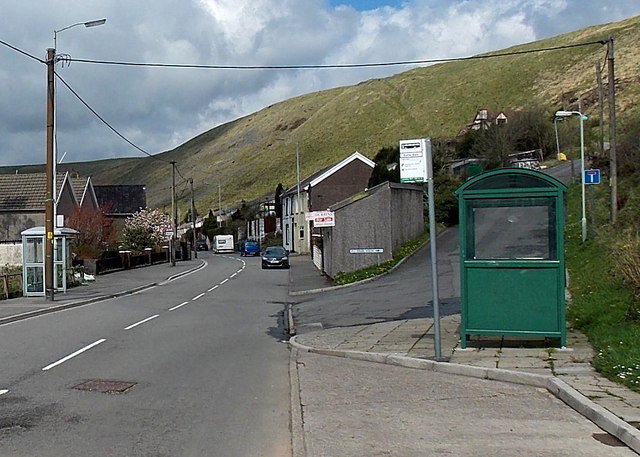
Image: © Jaggery Taken: 11 Apr 2014
Only the dark green shelter on the right appears in a Google Earth Street View taken in September 2009, so presumably the shelter on the left is the newer type of standard shelter in this area.
Images are licensed for reuse under creativecommons.org/licenses/by-sa/2.0
Image Location
Latitude
51.599903
Longitude
-3.469462