Residential development at Brentford Basin
Introduction
The photograph on this page of Residential development at Brentford Basin by Stefan Czapski as part of the Geograph project.
The Geograph project started in 2005 with the aim of publishing, organising and preserving representative images for every square kilometre of Great Britain, Ireland and the Isle of Man.

There are currently over 7.5m images from over 14,400 individuals and you can help contribute to the project by visiting https://www.geograph.org.uk
Residential development at Brentford Basin
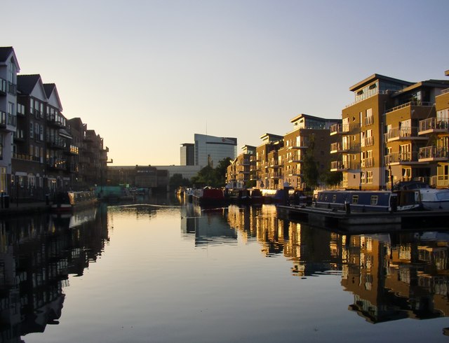
Image: © Stefan Czapski Taken: 18 Jun 2014
I find these elevations drearily unimaginative. But - it has to be said - evening light and reflections do rather flatter them.
Images are licensed for reuse under creativecommons.org/licenses/by-sa/2.0
Image Location
Latitude
51.484578
Longitude
-0.312785