Church, St Erney
Introduction
The photograph on this page of Church, St Erney by Derek Harper as part of the Geograph project.
The Geograph project started in 2005 with the aim of publishing, organising and preserving representative images for every square kilometre of Great Britain, Ireland and the Isle of Man.

There are currently over 7.5m images from over 14,400 individuals and you can help contribute to the project by visiting https://www.geograph.org.uk
Church, St Erney
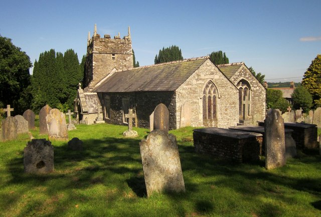
Image: © Derek Harper Taken: 14 Jun 2014
The church http://list.english-heritage.org.uk/resultsingle.aspx?uid=1158530&searchtype=mapsearch is also shown at http://www.geograph.org.uk/search.php?i=49575381 and Image], which considers the dedication. This view shows a row of three listed table tombs http://list.english-heritage.org.uk/resultsingle.aspx?uid=1140563&searchtype=mapsearch .
Images are licensed for reuse under creativecommons.org/licenses/by-sa/2.0
Image Location
Latitude
50.408591
Longitude
-4.293899