Ffordd Mynydd
Introduction
The photograph on this page of Ffordd Mynydd by Alan Richards as part of the Geograph project.
The Geograph project started in 2005 with the aim of publishing, organising and preserving representative images for every square kilometre of Great Britain, Ireland and the Isle of Man.

There are currently over 7.5m images from over 14,400 individuals and you can help contribute to the project by visiting https://www.geograph.org.uk
Ffordd Mynydd
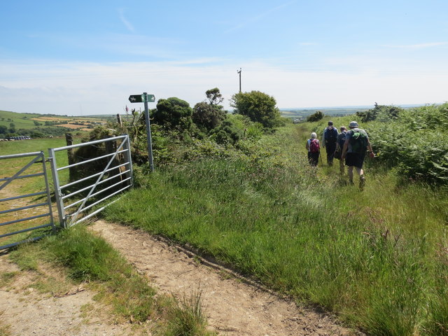
Image: © Alan Richards Taken: 22 Jun 2014
Llwybr ceffyl yn gwyro i ffwrdd o'r prif hewl o'r enw Ffordd Mynydd. A bridleway branching away at a junction of path on an old thoroughfare called Ffordd Mynydd (trans. Mountain way)
Images are licensed for reuse under creativecommons.org/licenses/by-sa/2.0
Image Location
Latitude
51.941257
Longitude
-4.893805