Cereal Crop Fields Bisected by A458, Shropshire
Introduction
The photograph on this page of Cereal Crop Fields Bisected by A458, Shropshire by Roger Kidd as part of the Geograph project.
The Geograph project started in 2005 with the aim of publishing, organising and preserving representative images for every square kilometre of Great Britain, Ireland and the Isle of Man.

There are currently over 7.5m images from over 14,400 individuals and you can help contribute to the project by visiting https://www.geograph.org.uk
Cereal Crop Fields Bisected by A458, Shropshire
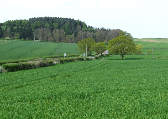
Image: © Roger Kidd Taken: 17 Apr 2007
The crops look in fine condition! Burf Castle Plantation is on the skyline.
Images are licensed for reuse under creativecommons.org/licenses/by-sa/2.0
Image Location
Latitude
52.511352
Longitude
-2.342978