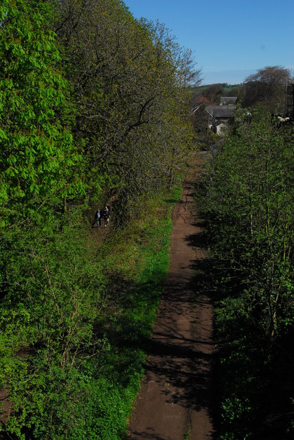
Site of Hay on Wye railway station
Introduction
The photograph on this page of Site of Hay on Wye railway station by John Winder as part of the Geograph project.
The Geograph project started in 2005 with the aim of publishing, organising and preserving representative images for every square kilometre of Great Britain, Ireland and the Isle of Man.
There are currently over 7.5m images from over 14,400 individuals and you can help contribute to the project by visiting https://www.geograph.org.uk

Image: © John Winder Taken: 11 Apr 2009
The station at Hay (not Hay on Wye until the 1950s, and renamed in an effort to make the town more attractive to tourists) was in the background of this shot, where the buildings are; the route of the railway is easily discernible in the foreground. The railway at Hay was open as early as 1816, as part of a tramway from the canal at Brecon. The route went through various changes of ownership, ending up in the hands of the Midland Railway, who used it in order to encroach into the Great Western Railway's territory. Part of the Wye Valley Walk now uses this section of the trackbed; the station site is a car park used mostly by canoeists.

