Open space in Chesterton
Introduction
The photograph on this page of Open space in Chesterton by Bill Boaden as part of the Geograph project.
The Geograph project started in 2005 with the aim of publishing, organising and preserving representative images for every square kilometre of Great Britain, Ireland and the Isle of Man.

There are currently over 7.5m images from over 14,400 individuals and you can help contribute to the project by visiting https://www.geograph.org.uk
Open space in Chesterton
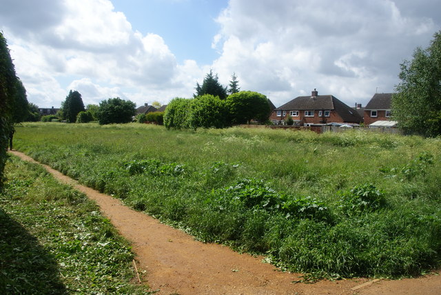
Image: © Bill Boaden Taken: 25 May 2014
A strip of land that was left between the houses when the estate was built. See Image for an explanation.
Images are licensed for reuse under creativecommons.org/licenses/by-sa/2.0
Image Location
Latitude
52.22144
Longitude
0.152607