Water tower conversion
Introduction
The photograph on this page of Water tower conversion by William Metcalfe as part of the Geograph project.
The Geograph project started in 2005 with the aim of publishing, organising and preserving representative images for every square kilometre of Great Britain, Ireland and the Isle of Man.

There are currently over 7.5m images from over 14,400 individuals and you can help contribute to the project by visiting https://www.geograph.org.uk
Water tower conversion
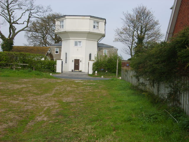
Image: © William Metcalfe Taken: 13 Apr 2007
A former water tower has been converted into a private dwelling, viewed from the public footpath leading to it.
Images are licensed for reuse under creativecommons.org/licenses/by-sa/2.0
Image Location
Latitude
53.967974
Longitude
-0.984884