Public Footpath on Mynydd Garn Goch Common
Introduction
The photograph on this page of Public Footpath on Mynydd Garn Goch Common by Nigel Davies as part of the Geograph project.
The Geograph project started in 2005 with the aim of publishing, organising and preserving representative images for every square kilometre of Great Britain, Ireland and the Isle of Man.

There are currently over 7.5m images from over 14,400 individuals and you can help contribute to the project by visiting https://www.geograph.org.uk
Public Footpath on Mynydd Garn Goch Common
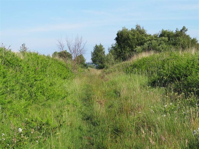
Image: © Nigel Davies Taken: 21 Jun 2014
This public right of way partially follows the course of a mineral railway that has been dismantled since the early 1900s (newer railways ran parallel just to the west and have also been dismantled). This part is reasonably clear but further south the cutting is overgrown so the path runs a little to the east of it.
Images are licensed for reuse under creativecommons.org/licenses/by-sa/2.0
Image Location
Latitude
51.660599
Longitude
-4.009573