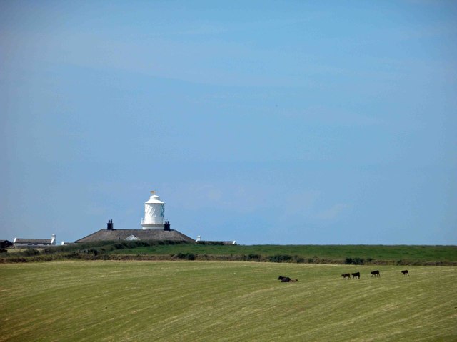
St Bees lighthouse
Introduction
The photograph on this page of St Bees lighthouse by Steve Fareham as part of the Geograph project.
The Geograph project started in 2005 with the aim of publishing, organising and preserving representative images for every square kilometre of Great Britain, Ireland and the Isle of Man.
There are currently over 7.5m images from over 14,400 individuals and you can help contribute to the project by visiting https://www.geograph.org.uk

Image: © Steve Fareham Taken: 22 Jun 2014
From Trinity house: South of the harbours of Maryport, Workington and Whitehaven, sandy beaches and grassy foreshores give way to cliffs around St. Bees Head, a high promontory, which was a danger to small coastal vessels trading between the ports of Wales and the Solway Firth. In 1718, Trinity House obtained a patent for the building of a lighthouse on the Head and in turn leased it to a private individual Thomas Lutwige, for ninety-nine years at an annual rent of £20. Lutwige undertook to erect the tower and maintain a light at his own expense. To provide him with an income, dues were levied at a rate of three-half pence a ton on cargo carried by vessels calling at the nearby ports of Whitehaven, Maryport and Workington. Lutwige built a strong round tower 9 metres in height and 5 metres in diameter, probably of local sandstone on top of which was a large metal grate into which the keepers tipped loads of coal. Work was strenuous particularly on windy nights and the keepers were rewarded with a weekly wage of seven shillings. The small grate led to continual complaints from shipowners because on windy nights the light was variable in intensity and often shrouded in thick smoke. In 1822, the tower was destroyed by fire and Trinity House decided to substitute the coal light for oil, (St. Bees was the last coal-fired lighthouse in Britain). The old tower was replaced by a circular lighthouse built to the design of Joseph Nelson. This tower, which cost £2,322, it is still in use today. St Bees Lighthouse was automated and demanned in 1987 and is now monitored from the Trinity House Operations and Planning Centre at Harwich.

