Wanborough Manor turning
Introduction
The photograph on this page of Wanborough Manor turning by Shazz as part of the Geograph project.
The Geograph project started in 2005 with the aim of publishing, organising and preserving representative images for every square kilometre of Great Britain, Ireland and the Isle of Man.

There are currently over 7.5m images from over 14,400 individuals and you can help contribute to the project by visiting https://www.geograph.org.uk
Wanborough Manor turning
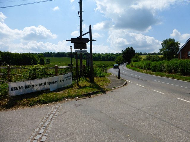
Image: © Shazz Taken: 21 Jun 2014
The turning to the left leads to the ancient settlement with the manor house, church and Great Barn. Ahead is the road up to the Hog's Back.
Images are licensed for reuse under creativecommons.org/licenses/by-sa/2.0
Image Location


Leaflet Map data © OpenStreetMap
Latitude
51.231482
Longitude
-0.664384