West Howe: Catholic church of Christ the King
Introduction
The photograph on this page of West Howe: Catholic church of Christ the King by Chris Downer as part of the Geograph project.
The Geograph project started in 2005 with the aim of publishing, organising and preserving representative images for every square kilometre of Great Britain, Ireland and the Isle of Man.

There are currently over 7.5m images from over 14,400 individuals and you can help contribute to the project by visiting https://www.geograph.org.uk
West Howe: Catholic church of Christ the King
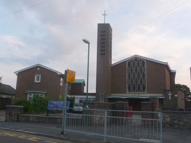
Image: © Chris Downer Taken: 21 Jun 2014
The Catholic church serving northwest Bournemouth stands here in Durdells Avenue. The associated primary school is along a driveway just out of picture to the right.
Images are licensed for reuse under creativecommons.org/licenses/by-sa/2.0
Image Location
Latitude
50.766614
Longitude
-1.910899