House at the edge of the former Pig Bank in Haverfordwest
Introduction
The photograph on this page of House at the edge of the former Pig Bank in Haverfordwest by Jaggery as part of the Geograph project.
The Geograph project started in 2005 with the aim of publishing, organising and preserving representative images for every square kilometre of Great Britain, Ireland and the Isle of Man.

There are currently over 7.5m images from over 14,400 individuals and you can help contribute to the project by visiting https://www.geograph.org.uk
House at the edge of the former Pig Bank in Haverfordwest
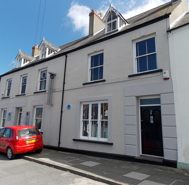
Image: © Jaggery Taken: 18 Apr 2014
The blue plaque http://www.geograph.org.uk/photo/4037026 on the wall gives details about the Pig Bank.
Images are licensed for reuse under creativecommons.org/licenses/by-sa/2.0
Image Location
Latitude
51.798979
Longitude
-4.973019