Bend in the A487, Haverfordwest
Introduction
The photograph on this page of Bend in the A487, Haverfordwest by Jaggery as part of the Geograph project.
The Geograph project started in 2005 with the aim of publishing, organising and preserving representative images for every square kilometre of Great Britain, Ireland and the Isle of Man.

There are currently over 7.5m images from over 14,400 individuals and you can help contribute to the project by visiting https://www.geograph.org.uk
Bend in the A487, Haverfordwest
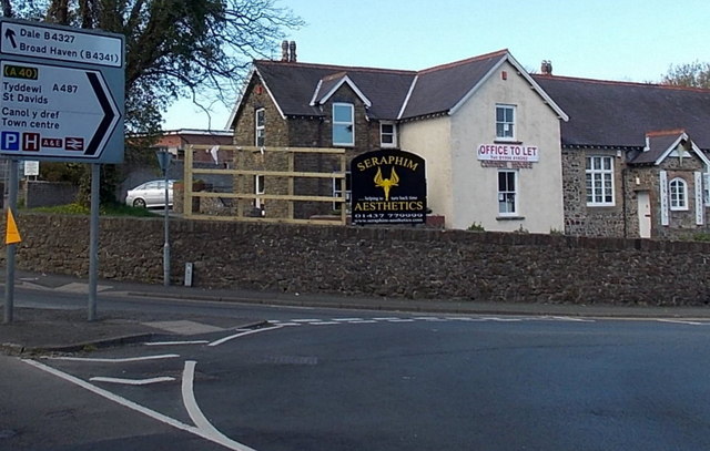
Image: © Jaggery Taken: 18 Apr 2014
From Albert Street behind the camera, the route of the A487 bends to the right, into Bank Street. The road on the left is the B4327 Portfield.
Images are licensed for reuse under creativecommons.org/licenses/by-sa/2.0
Image Location
Latitude
51.798891
Longitude
-4.976495