Corner of Milford Road and Albert Street, Haverfordwest
Introduction
The photograph on this page of Corner of Milford Road and Albert Street, Haverfordwest by Jaggery as part of the Geograph project.
The Geograph project started in 2005 with the aim of publishing, organising and preserving representative images for every square kilometre of Great Britain, Ireland and the Isle of Man.

There are currently over 7.5m images from over 14,400 individuals and you can help contribute to the project by visiting https://www.geograph.org.uk
Corner of Milford Road and Albert Street, Haverfordwest
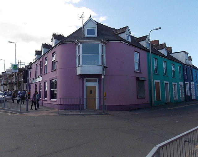
Image: © Jaggery Taken: 18 Apr 2014
On the left (Milford Road) side of the purple building, the nameboard shows TAJ MAHAL (Indian cuisine restaurant and takeaway). This corner is part of a zigzag route for the A487, from Milford Road, along Albert Street then Barn Street, avoiding Dew Street and the town centre.
Images are licensed for reuse under creativecommons.org/licenses/by-sa/2.0
Image Location
Latitude
51.798109
Longitude
-4.975428