Hannaford Cottage
Introduction
The photograph on this page of Hannaford Cottage by jeff collins as part of the Geograph project.
The Geograph project started in 2005 with the aim of publishing, organising and preserving representative images for every square kilometre of Great Britain, Ireland and the Isle of Man.

There are currently over 7.5m images from over 14,400 individuals and you can help contribute to the project by visiting https://www.geograph.org.uk
Hannaford Cottage
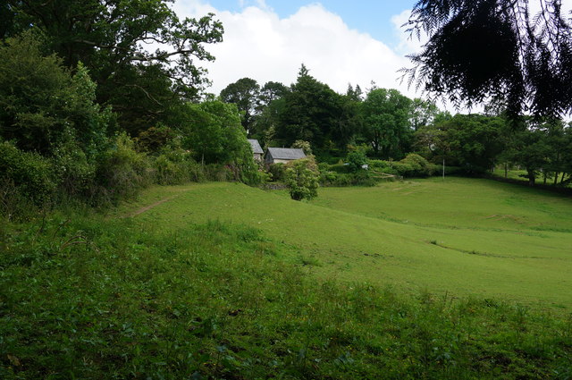
Image: © jeff collins Taken: 18 Jun 2014
Mostly hidden by the trees. The road is on the left just over the hedge.
Images are licensed for reuse under creativecommons.org/licenses/by-sa/2.0
Image Location
Latitude
50.52247
Longitude
-3.825947