Bryncae Arms, Llanharan
Introduction
The photograph on this page of Bryncae Arms, Llanharan by Jaggery as part of the Geograph project.
The Geograph project started in 2005 with the aim of publishing, organising and preserving representative images for every square kilometre of Great Britain, Ireland and the Isle of Man.

There are currently over 7.5m images from over 14,400 individuals and you can help contribute to the project by visiting https://www.geograph.org.uk
Bryncae Arms, Llanharan
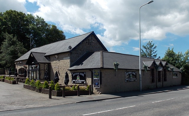
Image: © Jaggery Taken: 19 Jun 2014
Inn & restaurant viewed across the A473 Bridgend Road in the west of Llanharan.
Images are licensed for reuse under creativecommons.org/licenses/by-sa/2.0
Image Location
Latitude
51.533048
Longitude
-3.451304