Wide roadway, Harold Street, Llanharan
Introduction
The photograph on this page of Wide roadway, Harold Street, Llanharan by Jaggery as part of the Geograph project.
The Geograph project started in 2005 with the aim of publishing, organising and preserving representative images for every square kilometre of Great Britain, Ireland and the Isle of Man.

There are currently over 7.5m images from over 14,400 individuals and you can help contribute to the project by visiting https://www.geograph.org.uk
Wide roadway, Harold Street, Llanharan
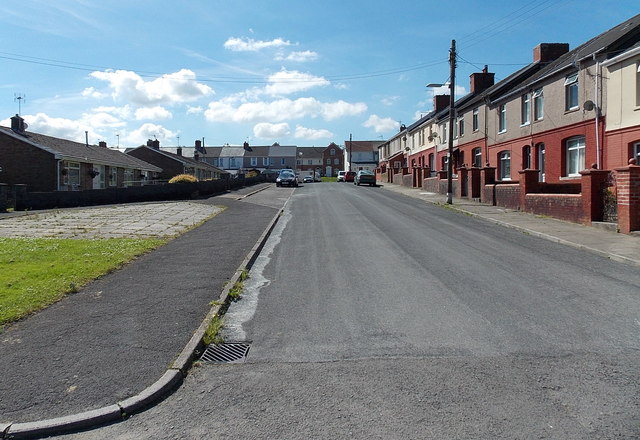
Image: © Jaggery Taken: 19 Jun 2014
Unlike many other parts of Rhondda Cynon Taf which are located in hilly areas with limited flat land (mostly in or near river valleys), Llanharan is located in a mainly flat area and has a general appearance of spaciousness. An example is this wide side street.
Images are licensed for reuse under creativecommons.org/licenses/by-sa/2.0
Image Location
Latitude
51.533928
Longitude
-3.445565