River Wiske
Introduction
The photograph on this page of River Wiske by Gordon Hatton as part of the Geograph project.
The Geograph project started in 2005 with the aim of publishing, organising and preserving representative images for every square kilometre of Great Britain, Ireland and the Isle of Man.

There are currently over 7.5m images from over 14,400 individuals and you can help contribute to the project by visiting https://www.geograph.org.uk
River Wiske
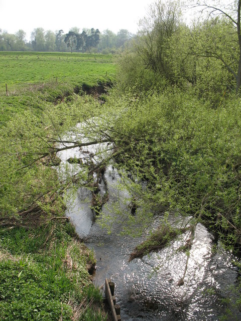
Image: © Gordon Hatton Taken: 16 Apr 2007
Looking downstream from Kirby Wiske bridge, this little river looks placid enough, but at times it causes local flooding. Heavy rain on the western edge of the North York Moors can bring huge amounts of water downstream, whilst a flood on the nearby Swale system causes the Wiske to back up and flood surrounding farmland.
Images are licensed for reuse under creativecommons.org/licenses/by-sa/2.0
Image Location


Leaflet Map data © OpenStreetMap
Latitude
54.256951
Longitude
-1.422807