Pentlow Road, Glemsford
Introduction
The photograph on this page of Pentlow Road, Glemsford by Geographer as part of the Geograph project.
The Geograph project started in 2005 with the aim of publishing, organising and preserving representative images for every square kilometre of Great Britain, Ireland and the Isle of Man.

There are currently over 7.5m images from over 14,400 individuals and you can help contribute to the project by visiting https://www.geograph.org.uk
Pentlow Road, Glemsford
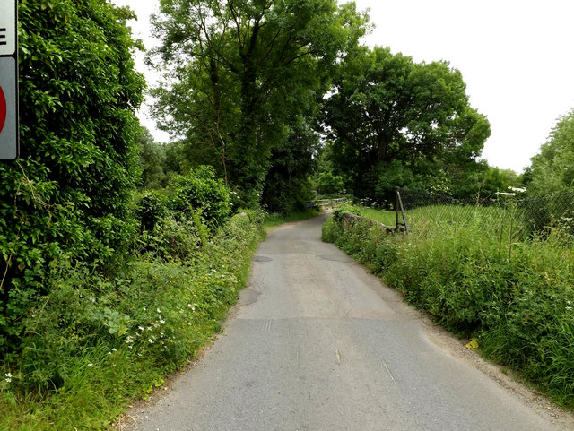
Image: © Geographer Taken: 14 Jun 2014
Looking towards the Essex/Suffolk Border & River Stour near the junction with the A1092 Lower Road
Images are licensed for reuse under creativecommons.org/licenses/by-sa/2.0
Image Location


Leaflet Map data © OpenStreetMap
Latitude
52.086156
Longitude
0.672205