Pasture above Cutlers
Introduction
The photograph on this page of Pasture above Cutlers by Penny Mayes as part of the Geograph project.
The Geograph project started in 2005 with the aim of publishing, organising and preserving representative images for every square kilometre of Great Britain, Ireland and the Isle of Man.

There are currently over 7.5m images from over 14,400 individuals and you can help contribute to the project by visiting https://www.geograph.org.uk
Pasture above Cutlers
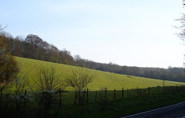
Image: © Penny Mayes Taken: 14 Apr 2007
This pasture is almost surrounded by woodland, most of which is open access. It lies between the Woodland Trust's Park Wood (behind the photographer) and that small part of the north eastern edge of King's Wood which is not open access (according to the map).
Images are licensed for reuse under creativecommons.org/licenses/by-sa/2.0
Image Location
Latitude
51.232543
Longitude
0.926549