Chapel Road houses, Llanharan
Introduction
The photograph on this page of Chapel Road houses, Llanharan by Jaggery as part of the Geograph project.
The Geograph project started in 2005 with the aim of publishing, organising and preserving representative images for every square kilometre of Great Britain, Ireland and the Isle of Man.

There are currently over 7.5m images from over 14,400 individuals and you can help contribute to the project by visiting https://www.geograph.org.uk
Chapel Road houses, Llanharan
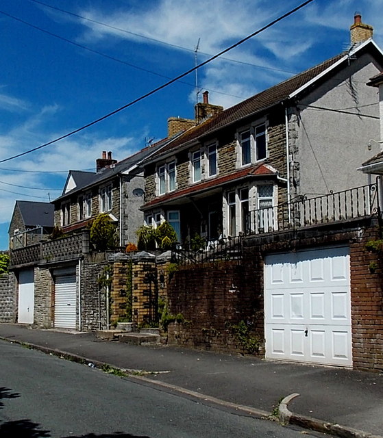
Image: © Jaggery Taken: 19 Jun 2014
Chapel Road here passes along a ledge on a slope. The houses are set above road level. Beyond the left edge of the view, hedges and trees line the south side of the road, at the edge of a slope down to the South Wales main railway line near Llanharan station.
Images are licensed for reuse under creativecommons.org/licenses/by-sa/2.0
Image Location
Latitude
51.538188
Longitude
-3.442816