Parish Church East, Muir of Ord
Introduction
The photograph on this page of Parish Church East, Muir of Ord by Richard Dorrell as part of the Geograph project.
The Geograph project started in 2005 with the aim of publishing, organising and preserving representative images for every square kilometre of Great Britain, Ireland and the Isle of Man.

There are currently over 7.5m images from over 14,400 individuals and you can help contribute to the project by visiting https://www.geograph.org.uk
Parish Church East, Muir of Ord
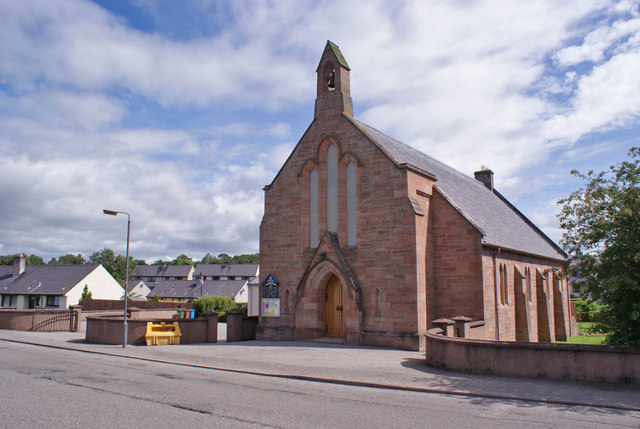
Image: © Richard Dorrell Taken: 17 Jun 2014
Located in Seaforth Road. Once the United Free Church of Urray this became Urray East Church in 1929. It serves the united parishes of Urray and Kilchrist.
Images are licensed for reuse under creativecommons.org/licenses/by-sa/2.0
Image Location
Latitude
57.519855
Longitude
-4.459066