Terry's Way roundabout, Bryncae
Introduction
The photograph on this page of Terry's Way roundabout, Bryncae by Jaggery as part of the Geograph project.
The Geograph project started in 2005 with the aim of publishing, organising and preserving representative images for every square kilometre of Great Britain, Ireland and the Isle of Man.

There are currently over 7.5m images from over 14,400 individuals and you can help contribute to the project by visiting https://www.geograph.org.uk
Terry's Way roundabout, Bryncae
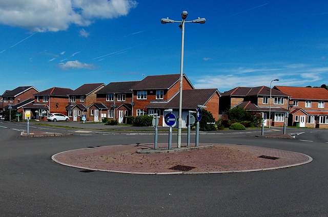
Image: © Jaggery Taken: 19 Jun 2014
The course of Terry's Way here is northwards past the roundabout. Colliers Avenue is on the west side of the roundabout. Bluebell Drive is on the east side.
Images are licensed for reuse under creativecommons.org/licenses/by-sa/2.0
Image Location
Latitude
51.534324
Longitude
-3.449903