Mapperley Top to Ratcliffe-on-Soar
Introduction
The photograph on this page of Mapperley Top to Ratcliffe-on-Soar by John Sutton as part of the Geograph project.
The Geograph project started in 2005 with the aim of publishing, organising and preserving representative images for every square kilometre of Great Britain, Ireland and the Isle of Man.

There are currently over 7.5m images from over 14,400 individuals and you can help contribute to the project by visiting https://www.geograph.org.uk
Mapperley Top to Ratcliffe-on-Soar
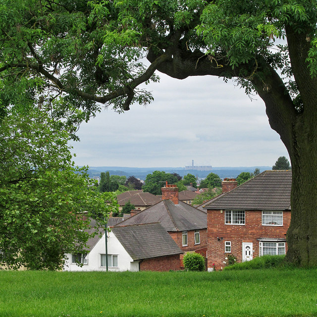
Image: © John Sutton Taken: 15 Jun 2014
A view from Ransom Road, near the top of the Mapperley ridge, with the chimney and cooling towers of Ratcliffe-on-Soar power station in the distance. The spot height nearby is 112m/368ft, so there are long views over the Trent Valley to the south-west and to the Vale of Belvoir to the south-east. For comparison, see Alan Murray-Rust's Image], taken with a more powerful zoom lens.
Images are licensed for reuse under creativecommons.org/licenses/by-sa/2.0
Image Location
Latitude
52.974983
Longitude
-1.133695