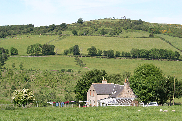
Haickburn Cottage
Introduction
The photograph on this page of Haickburn Cottage by Anne Burgess as part of the Geograph project.
The Geograph project started in 2005 with the aim of publishing, organising and preserving representative images for every square kilometre of Great Britain, Ireland and the Isle of Man.
There are currently over 7.5m images from over 14,400 individuals and you can help contribute to the project by visiting https://www.geograph.org.uk

Image: © Anne Burgess Taken: 18 Jun 2014
Notwithstanding the fact that the 1:25,000 map labels this Corskellie Cottages, this is Haickburn Cottage, as shown on the old maps and the sign at the gate. My thanks to Ian Godfrey for clarifying the matter. Let's hope the OS manages to correct the 1:25,000 map! Gallow Hill is in the background, and the line of trees on the slope up to it is the B9117 from Rothiemay to Bridge of Marnoch (or vice versa).

