SW along the Heads of the Valleys Road, Cefn-coed-y-cymmer
Introduction
The photograph on this page of SW along the Heads of the Valleys Road, Cefn-coed-y-cymmer by Jaggery as part of the Geograph project.
The Geograph project started in 2005 with the aim of publishing, organising and preserving representative images for every square kilometre of Great Britain, Ireland and the Isle of Man.

There are currently over 7.5m images from over 14,400 individuals and you can help contribute to the project by visiting https://www.geograph.org.uk
SW along the Heads of the Valleys Road, Cefn-coed-y-cymmer
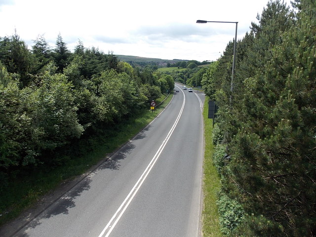
Image: © Jaggery Taken: 16 Jun 2014
Looking along the A465 from this http://www.geograph.org.uk/photo/4032727 bridge. The distant broken white lines on the right the Grawen Lane junction.
Images are licensed for reuse under creativecommons.org/licenses/by-sa/2.0
Image Location
Latitude
51.762242
Longitude
-3.407782