Mapperley Rise
Introduction
The photograph on this page of Mapperley Rise by John Sutton as part of the Geograph project.
The Geograph project started in 2005 with the aim of publishing, organising and preserving representative images for every square kilometre of Great Britain, Ireland and the Isle of Man.

There are currently over 7.5m images from over 14,400 individuals and you can help contribute to the project by visiting https://www.geograph.org.uk
Mapperley Rise
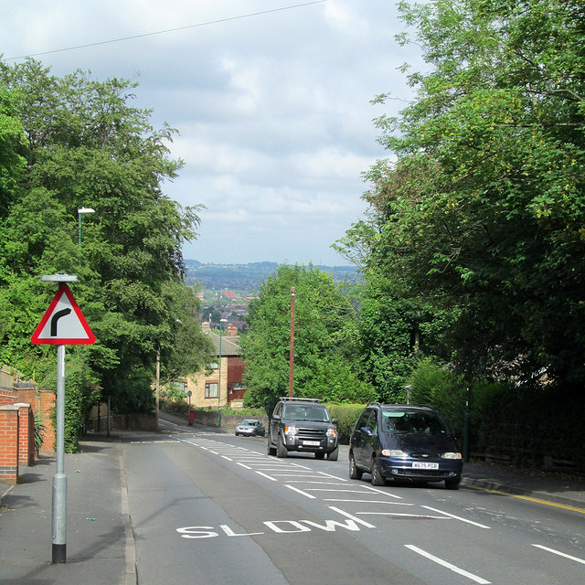
Image: © John Sutton Taken: 17 Jun 2014
Looking down this steep road which links Sherwood and Mapperley Top. The east of the city is hilly and there is a long view across Sherwood and Basford to the hills beyond Strelley which separate Nottingham from the Erewash Valley.
Images are licensed for reuse under creativecommons.org/licenses/by-sa/2.0
Image Location
Latitude
52.980394
Longitude
-1.13597