Lyles Hill Triangulation Pillar
Introduction
The photograph on this page of Lyles Hill Triangulation Pillar by Rossographer as part of the Geograph project.
The Geograph project started in 2005 with the aim of publishing, organising and preserving representative images for every square kilometre of Great Britain, Ireland and the Isle of Man.

There are currently over 7.5m images from over 14,400 individuals and you can help contribute to the project by visiting https://www.geograph.org.uk
Lyles Hill Triangulation Pillar
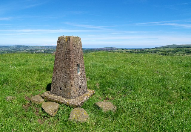
Image: © Rossographer Taken: 15 Jun 2014
Trig pillar located on top of Lyles Hill, about 3 miles from Templepatrick in County Antrim. The pillar is easily accessed via a concrete track from Lylehill Road through fields to the summit of the hill. Fantastic views in all directions - this is the view east towards Carnmoney. The hill itself is an important neolithic site. See also Image and Image
Images are licensed for reuse under creativecommons.org/licenses/by-sa/2.0
Image Location
Latitude
54.678191
Longitude
-6.066281