Gibbin's Brook
Introduction
The photograph on this page of Gibbin's Brook by Adam Hincks as part of the Geograph project.
The Geograph project started in 2005 with the aim of publishing, organising and preserving representative images for every square kilometre of Great Britain, Ireland and the Isle of Man.

There are currently over 7.5m images from over 14,400 individuals and you can help contribute to the project by visiting https://www.geograph.org.uk
Gibbin's Brook
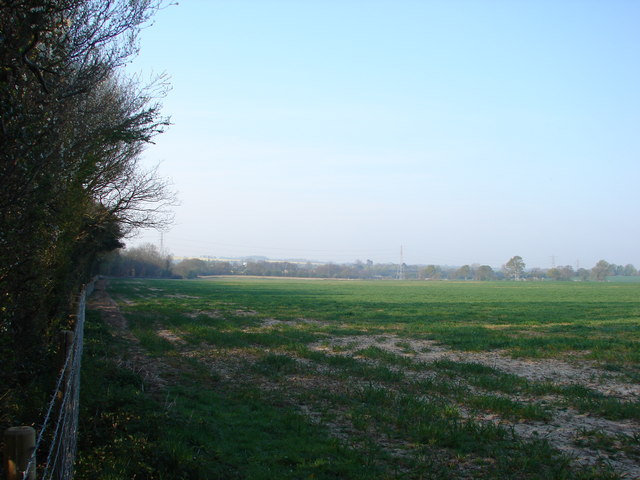
Image: © Adam Hincks Taken: 16 Apr 2007
Looking from Brook Lane over the fields towards the M20 in the distance. The woodland to the left is Gibbin's Brook, an area of CROW land on the outskirts of Sellindge. (See http://www.defra.gov.uk/wildlife-countryside/cl/index.htm for explanation of CROW land)
Images are licensed for reuse under creativecommons.org/licenses/by-sa/2.0
Image Location
Latitude
51.105891
Longitude
1.018836