
Moated site in Hockering Wood
Introduction
The photograph on this page of Moated site in Hockering Wood by Evelyn Simak as part of the Geograph project.
The Geograph project started in 2005 with the aim of publishing, organising and preserving representative images for every square kilometre of Great Britain, Ireland and the Isle of Man.

There are currently over 7.5m images from over 14,400 individuals and you can help contribute to the project by visiting https://www.geograph.org.uk
Moated site in Hockering Wood
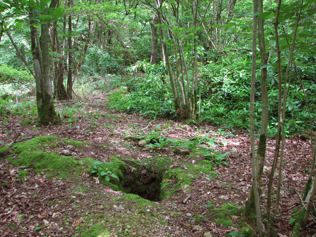
Image: © Evelyn Simak Taken: 17 Jun 2014
This moated site with traces of an outer enclosure is believed to date from the Middle Ages. Medieval brick and flint walls have been found within the moat which is believed to have been associated with the management of the wood during the medieval period. The moat surrounding the site is about 7 metres wide. The site can be accessed via a causeway to the north-east. A small mound at the south corner of the island was excavated (seen here) and found to contain the internal angle of a brick-built wall or foundation. For information about the wood see > http://www.geograph.org.uk/photo/4025594.
Images are licensed for reuse under creativecommons.org/licenses/by-sa/2.0
Image Location

Latitude
52.686544
Longitude
1.068301