Footpath diverging from Sawston Road
Introduction
The photograph on this page of Footpath diverging from Sawston Road by Oda Stoevesandt and Karsten Koehler as part of the Geograph project.
The Geograph project started in 2005 with the aim of publishing, organising and preserving representative images for every square kilometre of Great Britain, Ireland and the Isle of Man.

There are currently over 7.5m images from over 14,400 individuals and you can help contribute to the project by visiting https://www.geograph.org.uk
Footpath diverging from Sawston Road
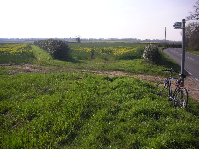
Image: © Oda Stoevesandt and Karsten Koehler Taken: 6 Apr 2007
Footpath diverging from Sawston Road near Church Farm. At the horizon there are the buildings of Sawston visible.
Images are licensed for reuse under creativecommons.org/licenses/by-sa/2.0
Image Location
Latitude
52.127475
Longitude
0.196434