Tanfield farmhouse
Introduction
The photograph on this page of Tanfield farmhouse by Robert Graham as part of the Geograph project.
The Geograph project started in 2005 with the aim of publishing, organising and preserving representative images for every square kilometre of Great Britain, Ireland and the Isle of Man.

There are currently over 7.5m images from over 14,400 individuals and you can help contribute to the project by visiting https://www.geograph.org.uk
Tanfield farmhouse
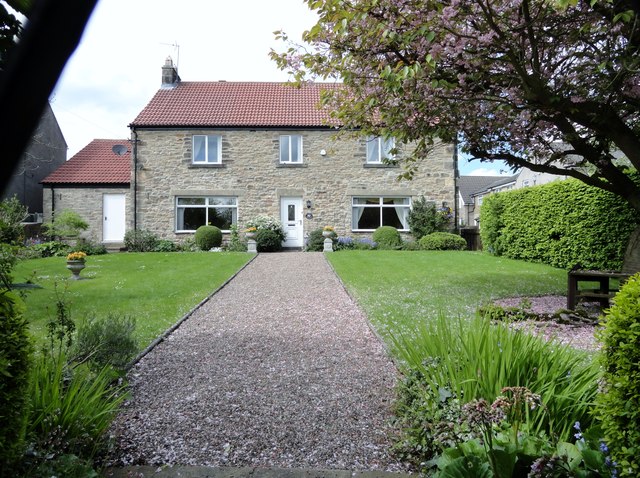
Image: © Robert Graham Taken: 14 May 2014
The farm in Tanfield village dates back to the 18th century. However, only the farmhouse itself remains, and is now a private house.
Images are licensed for reuse under creativecommons.org/licenses/by-sa/2.0
Image Location
Latitude
54.893803
Longitude
-1.711066