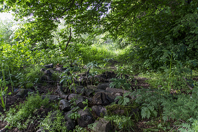
Path on Moncrieffe Island
Introduction
The photograph on this page of Path on Moncrieffe Island by William Starkey as part of the Geograph project.
The Geograph project started in 2005 with the aim of publishing, organising and preserving representative images for every square kilometre of Great Britain, Ireland and the Isle of Man.
There are currently over 7.5m images from over 14,400 individuals and you can help contribute to the project by visiting https://www.geograph.org.uk

Image: © William Starkey Taken: 16 Jun 2014
A faint path, presumably used by anglers, on the western edge of Moncrieffe Island in the River Tay. The path is very overgrown, and there are many invasive species of plant including giant hogweed, Himalayan balsam, gunnera and Japanese Knotweed. NHS UK warns that "If the sap of this plant comes into contact with your skin, it can cause severe, painful burns and make your skin sensitive to strong sunlight." Reference: http://www.nhs.uk/LiveWell/bites-and-stings/Pages/Plant-dangers-garden-countryside.aspx

