Erection of new houses, Stanley Road
Introduction
The photograph on this page of Erection of new houses, Stanley Road by John Baker as part of the Geograph project.
The Geograph project started in 2005 with the aim of publishing, organising and preserving representative images for every square kilometre of Great Britain, Ireland and the Isle of Man.

There are currently over 7.5m images from over 14,400 individuals and you can help contribute to the project by visiting https://www.geograph.org.uk
Erection of new houses, Stanley Road
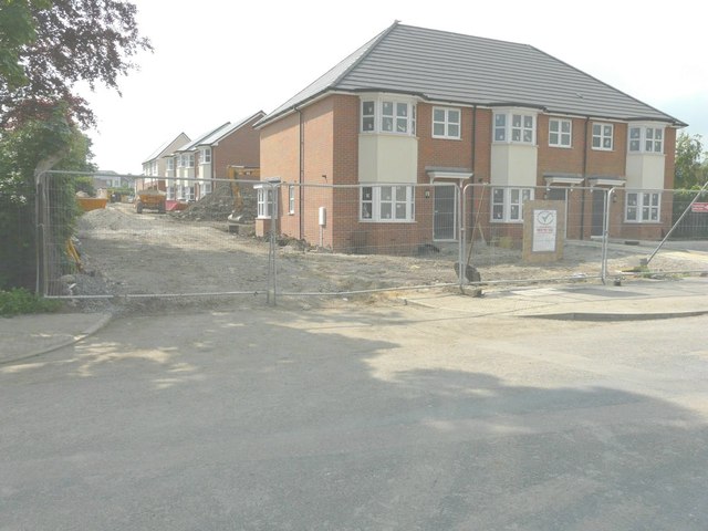
Image: © John Baker Taken: 1 Jun 2014
Planning permission has been approved, with conditions, by Folkestone and Hythe District Council under application number Y13/1114/SH for the “erection of ten terraced and four semi-detached dwellings following demolition of existing buildings – variation of condition 15 of planning permission Y11/1057/SH to allow the written assessment”. The dwellings are being built on land adjacent to a former communications centre.
Images are licensed for reuse under creativecommons.org/licenses/by-sa/2.0
Image Location
Latitude
51.09015
Longitude
1.141642