The lane leading from Blaco Hill
Introduction
The photograph on this page of The lane leading from Blaco Hill by Jonathan Thacker as part of the Geograph project.
The Geograph project started in 2005 with the aim of publishing, organising and preserving representative images for every square kilometre of Great Britain, Ireland and the Isle of Man.

There are currently over 7.5m images from over 14,400 individuals and you can help contribute to the project by visiting https://www.geograph.org.uk
The lane leading from Blaco Hill
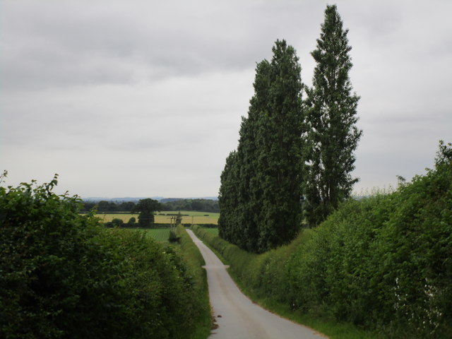
Image: © Jonathan Thacker Taken: 15 Jun 2014
A private road but a public bridleway. Blaco Hill is not particularly high, only 20 metres or so above the surrounding land, but these poplar trees on its flanks make it very prominent.
Images are licensed for reuse under creativecommons.org/licenses/by-sa/2.0
Image Location
Latitude
53.384391
Longitude
-0.958672