Tennis court, Strathpeffer
Introduction
The photograph on this page of Tennis court, Strathpeffer by Craig Wallace as part of the Geograph project.
The Geograph project started in 2005 with the aim of publishing, organising and preserving representative images for every square kilometre of Great Britain, Ireland and the Isle of Man.

There are currently over 7.5m images from over 14,400 individuals and you can help contribute to the project by visiting https://www.geograph.org.uk
Tennis court, Strathpeffer
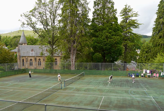
Image: © Craig Wallace Taken: 14 Jun 2014
A tennis court in the gardens on the hill behind the pavilion. With a variety of tall trees on the far side of the court, and St Anne's Church to the left. This was on Strathpeffer Victorian Day, so people are playing tennis with Victorian clothing and equipment.
Images are licensed for reuse under creativecommons.org/licenses/by-sa/2.0
Image Location
Latitude
57.586582
Longitude
-4.538193