The Pinfold, near Bronington
Introduction
The photograph on this page of The Pinfold, near Bronington by Espresso Addict as part of the Geograph project.
The Geograph project started in 2005 with the aim of publishing, organising and preserving representative images for every square kilometre of Great Britain, Ireland and the Isle of Man.

There are currently over 7.5m images from over 14,400 individuals and you can help contribute to the project by visiting https://www.geograph.org.uk
The Pinfold, near Bronington
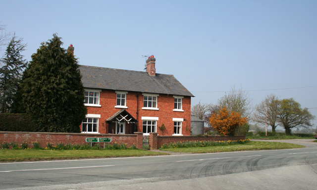
Image: © Espresso Addict Taken: 15 Apr 2007
Typical red-brick farmhouse with timber porch at a junction on the busy Ellesmere Road (A495) between Whitchurch and Ellesmere. View from Platt Lane (foreground); Bowkers Lane is visible (right)
Images are licensed for reuse under creativecommons.org/licenses/by-sa/2.0
Image Location


Leaflet Map data © OpenStreetMap
Latitude
52.955685
Longitude
-2.74184