Road Junction
Introduction
The photograph on this page of Road Junction by Keith Evans as part of the Geograph project.
The Geograph project started in 2005 with the aim of publishing, organising and preserving representative images for every square kilometre of Great Britain, Ireland and the Isle of Man.

There are currently over 7.5m images from over 14,400 individuals and you can help contribute to the project by visiting https://www.geograph.org.uk
Road Junction
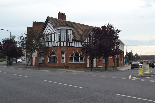
Image: © Keith Evans Taken: 9 Jun 2014
Road junction of Connaught Avenue and old Road Frinton-On-Sea, Essex. On the side of this building is a plaque see http://www.geograph.org.uk/photo/4027943 marking the opening of Connaught Avenue in 1904.
Images are licensed for reuse under creativecommons.org/licenses/by-sa/2.0
Image Location
Latitude
51.834447
Longitude
1.244317