Houses at Anthony's
Introduction
The photograph on this page of Houses at Anthony's by Alan Hunt as part of the Geograph project.
The Geograph project started in 2005 with the aim of publishing, organising and preserving representative images for every square kilometre of Great Britain, Ireland and the Isle of Man.

There are currently over 7.5m images from over 14,400 individuals and you can help contribute to the project by visiting https://www.geograph.org.uk
Houses at Anthony's
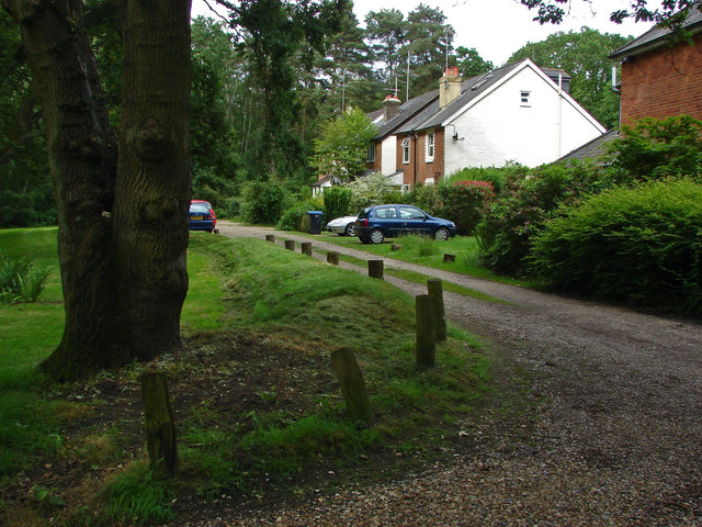
Image: © Alan Hunt Taken: 9 Jun 2014
The small hamlet on the edge of Horsell Common named simply as Anthony's.
Images are licensed for reuse under creativecommons.org/licenses/by-sa/2.0
Image Location
Latitude
51.340305
Longitude
-0.544932