Hillersland Farm
Introduction
The photograph on this page of Hillersland Farm by Stuart Wilding as part of the Geograph project.
The Geograph project started in 2005 with the aim of publishing, organising and preserving representative images for every square kilometre of Great Britain, Ireland and the Isle of Man.

There are currently over 7.5m images from over 14,400 individuals and you can help contribute to the project by visiting https://www.geograph.org.uk
Hillersland Farm
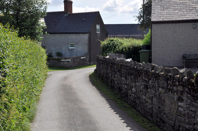
Image: © Stuart Wilding Taken: 12 Jun 2014
View along Folly Lane to the junction with Redhouse Lane.
Images are licensed for reuse under creativecommons.org/licenses/by-sa/2.0
Image Location
Latitude
51.825911
Longitude
-2.627799