Forge Lane
Introduction
The photograph on this page of Forge Lane by Graham Hogg as part of the Geograph project.
The Geograph project started in 2005 with the aim of publishing, organising and preserving representative images for every square kilometre of Great Britain, Ireland and the Isle of Man.

There are currently over 7.5m images from over 14,400 individuals and you can help contribute to the project by visiting https://www.geograph.org.uk
Forge Lane
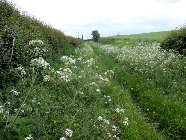
Image: © Graham Hogg Taken: 2 Jun 2014
Called a track on the OS map but here just a narrow path through the cow parsley.This track is part of the Archeological Way, a trail developed in the 1990s but about which there is very little public information.
Images are licensed for reuse under creativecommons.org/licenses/by-sa/2.0
Image Location
Latitude
53.18803
Longitude
-1.238959