Old and new quarrying on the Titterstone Clee Hill
Introduction
The photograph on this page of Old and new quarrying on the Titterstone Clee Hill by Peter Evans as part of the Geograph project.
The Geograph project started in 2005 with the aim of publishing, organising and preserving representative images for every square kilometre of Great Britain, Ireland and the Isle of Man.

There are currently over 7.5m images from over 14,400 individuals and you can help contribute to the project by visiting https://www.geograph.org.uk
Old and new quarrying on the Titterstone Clee Hill
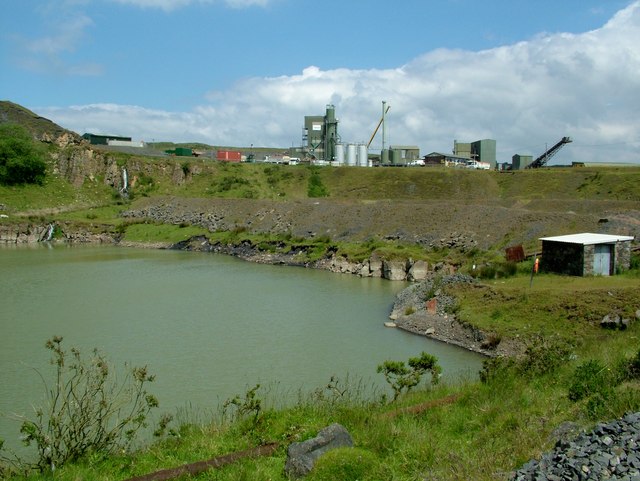
Image: © Peter Evans Taken: 14 Jun 2014
The disused and flooded old quarry workings on the Titterstone Clee Hill lie just below the modern processing plant that serves the current site http://en.wikipedia.org/wiki/Titterstone_Clee_Hill
Images are licensed for reuse under creativecommons.org/licenses/by-sa/2.0
Image Location


Leaflet Map data © OpenStreetMap
Latitude
52.380913
Longitude
-2.591423