Flat Field (1)
Introduction
The photograph on this page of Flat Field (1) by Simon Carey as part of the Geograph project.
The Geograph project started in 2005 with the aim of publishing, organising and preserving representative images for every square kilometre of Great Britain, Ireland and the Isle of Man.

There are currently over 7.5m images from over 14,400 individuals and you can help contribute to the project by visiting https://www.geograph.org.uk
Flat Field (1)
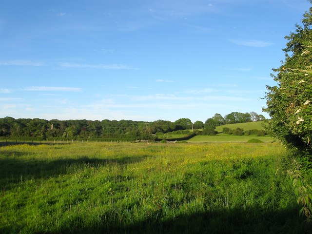
Image: © Simon Carey Taken: 7 Jun 2014
The name of the field according to Hurstpierpoint's 1842 tithe map that is bounded by New Way Lane to the south and west, Hautboys, whose chimney is just visible, to the north and Swany Banks to the east. This section lies to the north of a house called Dapps. See also Image The wood in the distance is Furzefield.
Images are licensed for reuse under creativecommons.org/licenses/by-sa/2.0
Image Location
Latitude
50.915472
Longitude
-0.166717