Dog Kennel Field/Banky Field/Middle Part
Introduction
The photograph on this page of Dog Kennel Field/Banky Field/Middle Part by Simon Carey as part of the Geograph project.
The Geograph project started in 2005 with the aim of publishing, organising and preserving representative images for every square kilometre of Great Britain, Ireland and the Isle of Man.

There are currently over 7.5m images from over 14,400 individuals and you can help contribute to the project by visiting https://www.geograph.org.uk
Dog Kennel Field/Banky Field/Middle Part
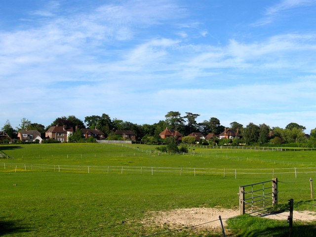
Image: © Simon Carey Taken: 7 Jun 2014
The name of the fields according to Hurspierpoint's 1842 tithe map that have been join together to make a larger unit. Dog Kennel Field lay in the foreground to the south of Image whilst Banky Field has largely disappeared under the houses in the distance, the actual bank leading up to them giving an idea where it was once located. Middle Part lay to the east on the right. The old Roman road linking Pevensey to Hardham once ran through this field.
Images are licensed for reuse under creativecommons.org/licenses/by-sa/2.0
Image Location
Latitude
50.925534
Longitude
-0.166037